Lidar is a system consists of laser, telescope collection device and signal analyzing device with high accuracy and high spatial resolution remote sensing. Lidar (also written LIDAR, LiDAR or LADAR) is a surveying technology that measures distance by illuminating a target with a laser light. Lidar is an acronym of Light Detection And Ranging,[1] and was originally created as a portmanteau of "light" and "radar".[2][3] Lidar is popularly used as a technology to make high-resolution maps, with applications in geodesy, geomatics, archaeology, geography, geology,geomorphology, seismology, forestry, atmospheric physics,[4] airborne laser swath mapping (ALSM) and laser altimetry

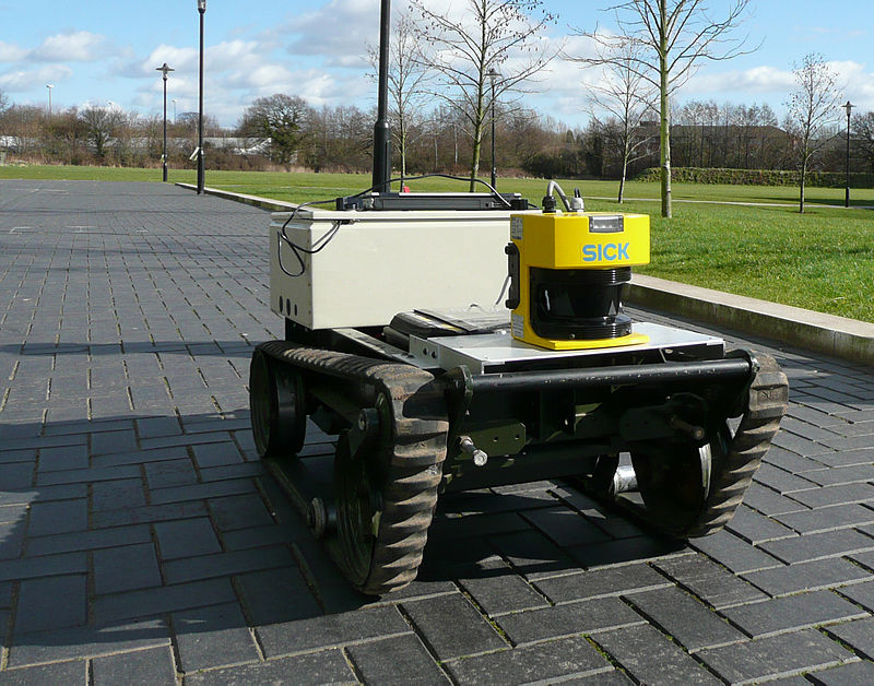
This lidar-equipped mobile robotuses its lidar to construct a map and avoid obstacles.

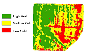
Agricultural Research Service scientists have developed a way to incorporate lidar with yield rates on agricultural fields. This technology will help farmers improve their yields by directing their resources toward the high-yield sections of their land.
